
Introduction
When a storm looms, an earthquake rattles the ground, or a wildfire roars nearby, time is the most valuable currency. Modern warning systems give that precious time by turning raw data into clear, actionable alerts. By combining satellite imaging, seismic sensors, advanced radar, and instant communication channels, these systems have become a frontline defense that literally saves lives.
Why Warning Systems Matter
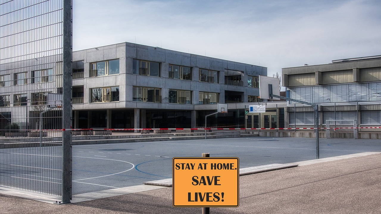
Before the era of instant alerts, people relied on word of mouth, newspaper reports, or a single siren that might not reach everyone. In many regions, a lack of timely information meant that evacuation orders came too late, or that people were unaware of a rapidly changing hazard. Modern warning systems reduce uncertainty, increase preparedness, and enable coordinated responses - turning potential tragedies into manageable emergencies.
Key Technologies Behind Modern Warnings
- Satellite Imaging - Satellites orbit the Earth and capture high‑resolution images of weather fronts, fire spread, and flood extents. The data feeds into models that predict how a storm or wildfire will evolve.
- Seismic Sensors - Networks of seismographs detect the tiniest ground tremors, providing a rapid estimate of an earthquake's magnitude and epicenter.
- Weather Radar - Ground‑based radar systems track precipitation intensity and movement, allowing forecasters to issue tornado or flash‑flood warnings minutes before the event.
- IoT and Mobile Alerts - Connected devices - smartphones, home assistants, and even smart streetlights - can receive push notifications or vibrate when an alert is issued.
- Data Analytics - Sophisticated algorithms sift through millions of data points to refine forecasts, reduce false alarms, and improve the relevance of each warning.
How Alerts Reach Communities

The speed of an alert depends on the communication network. Below are the most common channels that deliver warnings to you:
- SMS Alerts - Short text messages sent to your phone number, ensuring you see the warning even if your phone is locked.
- Push Notifications - Alerts that pop up on smartphones or tablets, often with a link to a local emergency website.
- Public Address Systems - Loudspeakers in schools, parks, and transportation hubs that announce evacuation orders.
- Community Alert Apps - Dedicated apps that provide real‑time maps, evacuation routes, and shelter locations.
- TV & Radio - Traditional broadcast channels that reach people without smartphones.
Case Study: A Rapid Flood Warning Saves a Town
In a coastal community that sits just a few meters above sea level, a sudden surge of heavy rain caused riverbanks to overflow. Satellite imagery detected the swelling, while radar confirmed the storm's path. Within ten minutes, the local emergency management office issued a flood warning via SMS and the community alert app. Residents who had their phones charged and the app open received the message, allowing them to move vulnerable pets to higher ground and secure loose outdoor items. The coordinated response prevented injuries and minimized property damage - demonstrating the life‑saving power of a well‑orchestrated warning system.
Common Questions Answered
What types of disasters are covered?
Modern systems cover a wide range: tropical cyclones, tornadoes, flash floods, earthquakes, tsunamis, and even sudden wildfires. The specific coverage depends on the local network and the resources of the national meteorological agency.
How can I stay informed?
Check with your local government or emergency management office for the recommended alert services. Most regions offer free subscription via SMS, email, or an app. Keep your phone's battery topped up and enable notifications for the chosen service.
What if my phone dies?
Backup options include battery‑powered radios, community loudspeakers, and printed emergency plans that list evacuation routes and shelter locations. Having a physical copy of the local emergency contact numbers is a reliable safety net.
Practical Tips for Residents
- Subscribe to local alerts - Sign up for SMS or app notifications as soon as you move into a new area.
- Install a dedicated app - Choose an app that offers real‑time maps and offline access to evacuation routes.
- Keep a battery backup - A portable charger or a solar charger can keep your phone alive during a power outage.
- Know the emergency numbers - Store local emergency hotlines in your phone's contacts and on a laminated card.
- Create a family plan - Decide who meets where, how to reach each other, and where to go if the primary shelter is unavailable.
- Check your home's resilience - Secure loose items, reinforce windows, and maintain a clear path to exits.
Future Trends
While the core architecture of warning systems remains strong, several innovations are shaping the next generation of alerts:
- Predictive modeling - Enhanced algorithms can forecast the severity of an event several hours ahead, giving communities more lead time.
- Community networks - Local volunteers equipped with radio transceivers can relay alerts in areas where cellular coverage is weak.
- Integrated emergency apps - Apps that combine weather alerts, evacuation maps, and real‑time shelter occupancy information.
- Resilient communication infrastructure - Mesh networks that maintain connectivity even when power grids are down.